In the realm of urban development and civil engineering, accurate infrastructure planning is paramount. The complexity of modern infrastructure projects demands meticulous planning and execution to ensure that they meet the needs of growing populations while adhering to sustainability and safety standards. Utility solutions play a crucial role in this process, providing the tools and technologies necessary to design, implement, and maintain infrastructure systems efficiently and effectively.
The Importance of Accurate Infrastructure Planning
Accurate infrastructure planning is essential for the seamless integration of new developments into existing urban landscapes. It ensures that resources are allocated efficiently, minimising waste and maximising the utility of available space. Proper planning also helps in anticipating future needs, allowing for scalable solutions that can adapt to changing demands over time.
Moreover, accurate planning reduces the risk of costly errors and delays during the construction phase. By identifying potential issues early in the design process, planners can implement solutions that mitigate risks and streamline project timelines. This proactive approach not only saves time and money but also enhances the overall quality and longevity of the infrastructure.
Infrastructure planning also plays a vital role in ensuring public safety and environmental sustainability. By considering factors such as traffic flow, water management, and energy efficiency, planners can design systems that minimise environmental impact and enhance the quality of life for residents.
Key Utility Solutions in Infrastructure Planning
Geographic Information Systems (GIS)
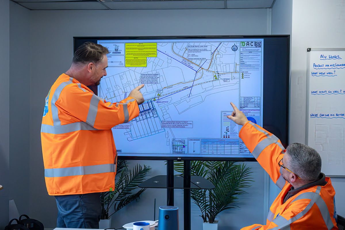
Geographic Information Systems (GIS) are indispensable tools in modern infrastructure planning. They provide a comprehensive platform for collecting, analysing, and visualising spatial data, enabling planners to make informed decisions based on accurate geographical information. GIS technology allows for the integration of various data sources, such as topography, land use, and demographic information, into a single, cohesive framework.
By leveraging GIS, planners can conduct detailed site analyses, identify optimal locations for new developments, and assess the potential impact of infrastructure projects on surrounding areas. This spatial awareness is crucial for designing systems that are both efficient and sustainable, reducing the likelihood of unforeseen complications during construction.
Furthermore, GIS facilitates collaboration among stakeholders by providing a shared platform for data exchange and communication. This collaborative approach ensures that all parties involved in the planning process have access to the same information, promoting transparency and reducing the potential for misunderstandings.
Building Information Modelling (BIM)
Building Information Modelling (BIM) is another critical utility solution for infrastructure planning. BIM is a digital representation of the physical and functional characteristics of a facility, providing a detailed model that can be used throughout the lifecycle of a project. This technology enables planners to create highly accurate and detailed designs, reducing the risk of errors and omissions during construction.
One of the primary benefits of BIM is its ability to facilitate collaboration among different disciplines involved in a project. By providing a centralised model that all stakeholders can access, BIM ensures that architects, engineers, and contractors are working from the same set of data, reducing the potential for conflicts and discrepancies.
BIM also supports advanced simulation and analysis, allowing planners to test various design scenarios and assess their impact on project outcomes. This capability is particularly valuable for evaluating the performance of infrastructure systems under different conditions, such as extreme weather events or increased usage.
Utility Mapping and Detection Technologies
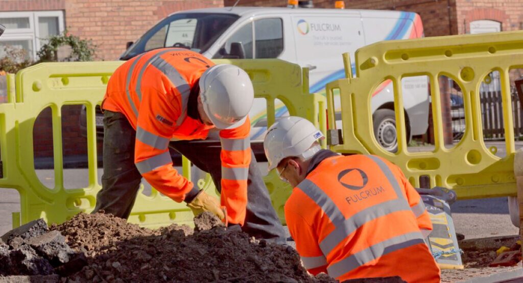
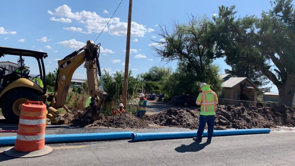
Utility mapping and detection technologies are essential for identifying and documenting existing underground utilities, such as water, gas, and electrical lines. These technologies use a combination of ground-penetrating radar, electromagnetic sensors, and other advanced tools to create accurate maps of subsurface infrastructure.
Accurate utility mapping is crucial for avoiding accidental damage during construction, which can lead to costly repairs and project delays. By providing detailed information about the location and condition of existing utilities, these technologies enable planners to design infrastructure systems that minimise disruptions and ensure the safety of workers and the public.
Additionally, utility mapping technologies support the maintenance and management of infrastructure systems by providing up-to-date information about the condition and performance of underground assets. This data is invaluable for planning maintenance activities and prioritising repairs, ensuring that infrastructure systems remain reliable and efficient over time.
Integrating Utility Solutions into the Planning Process
Data Collection and Analysis
The integration of utility solutions into the infrastructure planning process begins with comprehensive data collection and analysis. Planners must gather data from a variety of sources, including GIS, BIM, and utility mapping technologies, to create a detailed understanding of the project site and its surroundings. This data serves as the foundation for informed decision-making, enabling planners to identify potential challenges and opportunities early in the process.
Once the data has been collected, it must be analysed to extract meaningful insights that can guide the planning process. This analysis may involve the use of advanced software tools and algorithms to identify patterns and trends, assess risks, and evaluate the feasibility of different design options. By leveraging data-driven insights, planners can make informed decisions that optimise project outcomes and minimise risks.
Collaboration and Communication
Effective collaboration and communication are essential for the successful integration of utility solutions into infrastructure planning. Planners must work closely with stakeholders, including government agencies, utility providers, and community groups, to ensure that all perspectives are considered and that the project aligns with broader goals and objectives.
Utility solutions such as GIS and BIM facilitate collaboration by providing shared platforms for data exchange and communication. These technologies enable stakeholders to access the same information, reducing the potential for misunderstandings and ensuring that everyone is working towards a common goal.
Regular communication is also crucial for keeping stakeholders informed about project progress and addressing any concerns that may arise. By maintaining open lines of communication, planners can build trust and foster a collaborative environment that supports successful project outcomes.
Continuous Monitoring and Adaptation
The integration of utility solutions into infrastructure planning does not end with the completion of the design phase. Continuous monitoring and adaptation are essential for ensuring that infrastructure systems remain efficient and effective over time. This involves the ongoing collection and analysis of data to assess the performance of infrastructure systems and identify areas for improvement.
Utility solutions such as GIS and BIM can support continuous monitoring by providing real-time data about the condition and performance of infrastructure systems. This data can be used to identify potential issues before they become critical, allowing planners to implement proactive solutions that minimise disruptions and extend the lifespan of infrastructure assets.
Adaptation is also crucial for ensuring that infrastructure systems remain relevant and responsive to changing needs. By regularly reviewing and updating infrastructure plans, planners can ensure that systems continue to meet the needs of growing populations and evolving urban landscapes.
The Future of Utility Solutions in Infrastructure Planning
The future of utility solutions in infrastructure planning is bright, with ongoing advancements in technology promising to further enhance the accuracy and efficiency of planning processes. Emerging technologies such as artificial intelligence, machine learning, and the Internet of Things (IoT) are poised to revolutionise the way infrastructure systems are designed, implemented, and managed.
Artificial intelligence and machine learning have the potential to automate many aspects of the planning process, reducing the time and effort required to analyse data and make informed decisions. These technologies can also support advanced simulation and modelling, allowing planners to test a wider range of design scenarios and assess their impact on project outcomes. Click the link: https://bestsmarthometrends.com/what-utility-inspection-reveals-about-underground-risks/ to learn more about what utility inspection reveals about underground risks.
The Internet of Things (IoT) is also set to play a significant role in the future of infrastructure planning. By connecting infrastructure systems to a network of sensors and devices, IoT technology can provide real-time data about the condition and performance of infrastructure assets. This data can be used to optimise maintenance activities, improve resource allocation, and enhance the overall efficiency of infrastructure systems.
Conclusion
Utility solutions are indispensable tools for accurate infrastructure planning, providing the data and insights necessary to design, implement, and maintain efficient and sustainable infrastructure systems. By leveraging technologies such as GIS, BIM, and utility mapping, planners can optimise project outcomes, minimise risks, and ensure that infrastructure systems meet the needs of growing populations and evolving urban landscapes. As technology continues to advance, the integration of utility solutions into the planning process will become increasingly sophisticated, paving the way for a future of smarter, more resilient infrastructure systems.